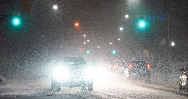
‘Incredible snow totals’: Squalls to hit parts of Ontario, up to 80 cm possible

Several parts of Ontario are set to see “incredible snow totals” over the next few days due to a shift in temperatures over the Great Lakes.
Water temperatures across the lakes has been at record mild levels given the calm fall so far, Global News meteorologist Anthony Farnell said.
However, a looming change in temperature between the lake and the air will create “ideal conditions” for lake effect snow, he added.
“Areas downwind of all five Great Lakes will see some incredible snow totals this upcoming weekend and travel will be difficult at best,” Farnell said.
“The Lake Huron and Georgian Bay snow squalls will quickly intensify early Friday morning and continue right into early next week.”
A snowfall forecast is seen for southern Ontario between Nov. 28 and Dec. 2.
Anthony Farnell/Global News
Farnell added because water temperatures are still so mild, areas right near those will see a heavier, wet snow that will limit amounts at least initially. As the wind shifts slightly, the snow squalls will also shift, bringing the heaviest snow amounts to different communities depending on the day.
In the most intense squalls, snow rates could reach as high as eight centimetres per hour with thunder and lightning, he said.

Get breaking National news
For news impacting Canada and around the world, sign up for breaking news alerts delivered directly to you when they happen.
“By Monday, snow totals could reach as high as 80 cm under the more persistent snow squalls. Much of the GTA will miss out on the heaviest snow, but part of the north and west end will see amounts that could top 10 cm by Monday,” Farnell said.
“Snow flurries are likely in Toronto, but with little or no accumulation.”
Farnell added the weather will remain colder than average through Dec. 10, with more snow falling, especially for the areas that will be hit hardest this weekend.
Meanwhile, Environment Canada issued several winter weather warnings and watches on Thursday for parts of southern Ontario. Snow squall warnings have been issued for areas in and around Owen Sound, Blue Mountains, Bracebridge, Parry Sound, Huntsville, Sault Ste. Marie as well as further north near Lake Nipigon.
Snow squall warnings have been issued for the area just north of Waterloo such as North Perth, Huron East, Grand Valley and Orangeville. The warning also stretches across Manitoulin Island, Elliot Lake and Bayfield Inlet.
Temperatures will vary throughout the country in the first half of December.
Anthony Farnell/Global News
Earlier this month, Farnell told Global News Canada is in for a La Nina winter due to warmer water in the Pacific Ocean that typically brings lower temperatures and higher precipitation.
How much precipitation you’ll see depends on where you live; much of B.C. and Alberta are expected to see above-normal precipitation, along with southwestern Saskatchewan, and central and southwestern Ontario.
Winter officially begins on Dec. 21.
© 2024 Global News, a division of Corus Entertainment Inc.


